Upper Pines, California Campground Photos, Directions & Reservations
Upper Pines Campground Photos
Overview
Yosemite National Park’s reservable campsites are available up to five months in advance on the 15th of each month at 7:00 a.m. (PST). For example, on January 15, the time period May 15 to June 14 becomes available to reserve, and therefore, the full booking window would be from January 16 to June 14.
Facilities
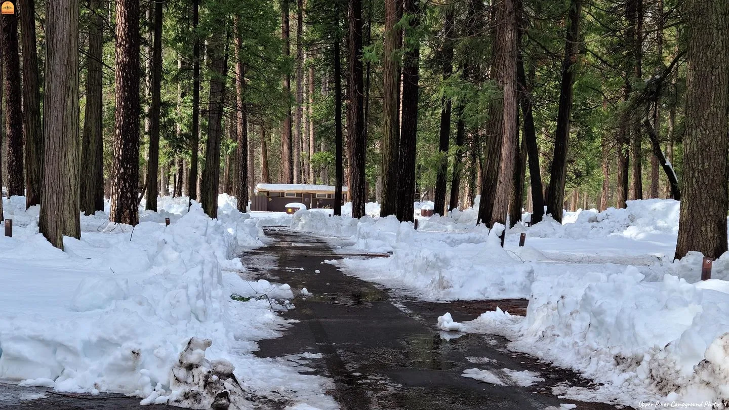
Upper Pines Campground is the largest of the three reservation campgrounds in Yosemite Valley. It offers paved roads and parking spurs, flush toilets, and drinking water. Each campsite contains a picnic table, fire ring, and a food storage locker. Yosemite’s free shuttle bus stops near the campground entrance. Yosemite’s free shuttle bus stops at the campground entrance. Nearby, historic Curry Village offers showers (for a fee), a general store, restaurants and bar, amphitheater and a tour and activities desk.
Natural Features
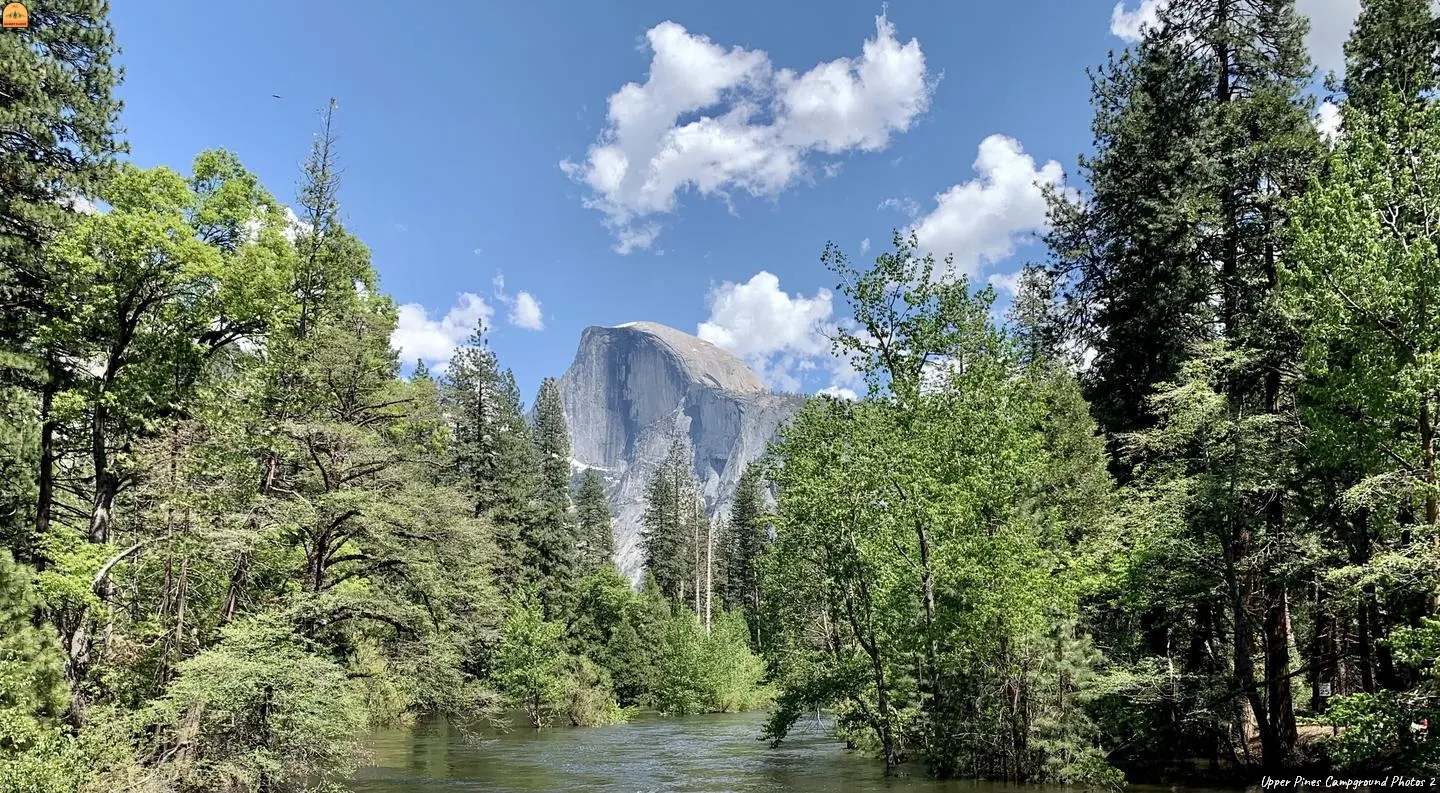
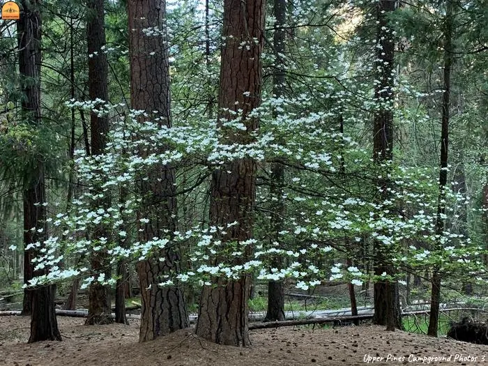
Yosemite Valley is forested with a diverse mix of California black oak, Ponderosa pine, incense-cedar, White fir, and Whiteleaf Manzanita, which offers a pleasant combination of sun and shade. Through the trees, Yosemite’s telltale granite cliffs peek through, and the gentle, refreshing Merced River flows nearby.
Recreation
Yosemite’s trails, cliffs, roads and rivers provide endless recreational activities for any kind of visitor. Hiking, biking, rock climbing, fishing, horseback riding, rafting, auto touring, cross-country skiing and photography are all very popular activities within the park.
Hiking trails range from the easy paved, two-mile roundtrip walk to Mirror Lake/Meadow, to the grueling but rewarding 14- to 16-mile trek to Half Dome (permit required). Both of these trails begin near the Pines Campgrounds, and there are many additional trailheads within Yosemite Valley.
Rafting the Merced River is a fun way to cool down on a summer day when water levels are sufficient. Yosemite Valley also offers numerous guided bus tours, educational programs, museums, ranger-led activities and an art center with workshops.
Recreation Sites
- Standard Nonelectric
- Rv Nonelectric
- Tent Only Nonelectric
- Overnight
Activities
Camping
Amenities
- Accessible Campsites
- Accessible Drinking Water
- Accessible Flush Toilets
- Food Storage Locker
- Host
- Pets Allowed
- Picnic Tables
- Shuttle Bus Service
- Accessible Occupant Message
- Accessibility
Nearby Attractions
Glacier Point offers sweeping views of Yosemite Valley, Little Yosemite Valley, Half Dome, Vernal and Nevada Falls, and Clouds Rest, among other notable landmarks.
The Tioga Road offers a 39-mile scenic drive past forests, meadows, lakes and granite domes. Beautiful Hetch Hetchy Reservoir is home to spectacular scenery and numerous wilderness trailheads.
Directions and Contact Information
Take Highway 41 north from Fresno, Highway 140 east from Merced, or Highway 120 east from Manteca into Yosemite National Park. Follow signs to Yosemite Valley and the campgrounds.
Need to Know
- You are responsible for reading the site alerts and booking a site that will accommodate your equipment.
- If arriving one or more days late, call (209) 372-8502; your reservation will be forfeited if we do not hear from you within 24 hours of your arrival date.
- You must check-in upon arrival. After-hours arrivals must check-in the following morning or your reservation may be forfeited.
- Bear habitat! Food and toiletries must be properly stored 24 hours/day.
- Food storage lockers are provided in all campsites (35 inches deep x 43 inches wide x 28 inches high).
- Absolutely no food stored in vehicles.
- Dispose of garbage immediately in bear-proof dumpsters.
- There are no electric, water or sewer hook-ups available at individual campsites. A free dump station is located on-site along with potable water.
- There is a 30-night camping limit within Yosemite National Park in a calendar year; however, May 1 to September 15, the camping limit in Yosemite is 14 nights, and only seven of those nights can be in Yosemite Valley or Wawona.
- Road conditions can change at any time; before arrival, please call (209) 372-0200 for road and weather conditions inside Yosemite, and 1-800-427-ROAD for conditions outside the park.
- Resale or auction of advance reservations is prohibited.
- Don’t Move Firewood: Help protect our forests! Prevent the spread of tree-killing pests by obtaining firewood at or near your destination and burning it on-site. Moving firewood is illegal in some states. Visit dontmovefirewood.org to learn more.
- Help Yosemite be a Zero Landfill park! Leave excess packaging at home. Use refillable water bottles, food containers and travel mugs. Place all of your recyclable waste in designated recycling containers. For more information go to: https://www.nps.gov/yose/getinvolved/zlf.htm
Location Map
Latitude : 37° 44′ 10.0000″ N
Longitude: 119° 33′ 45.0000″ W
Mailing Address
PO BOX 577
Yosemite National Park, CA 95389
Physical Address
9024 Southside Drive
Yosemite National Park, CA 95389
Phone Number
(209)372-8502
Additional Information
Yosemite Park Lodging
California State Tourism
California State Road Conditions


Post a Comment for "Upper Pines, California Campground Photos, Directions & Reservations"